We hope that in time this page will grow in to a useful collection of information on the connected histories of Callow, Dewsall, Haywood, Grafton and Twyford.
This link takes you to the Parish on-line History Library, into which we have uploaded some interesting histories and documents concerning the area, and to which we aim to add more in time.
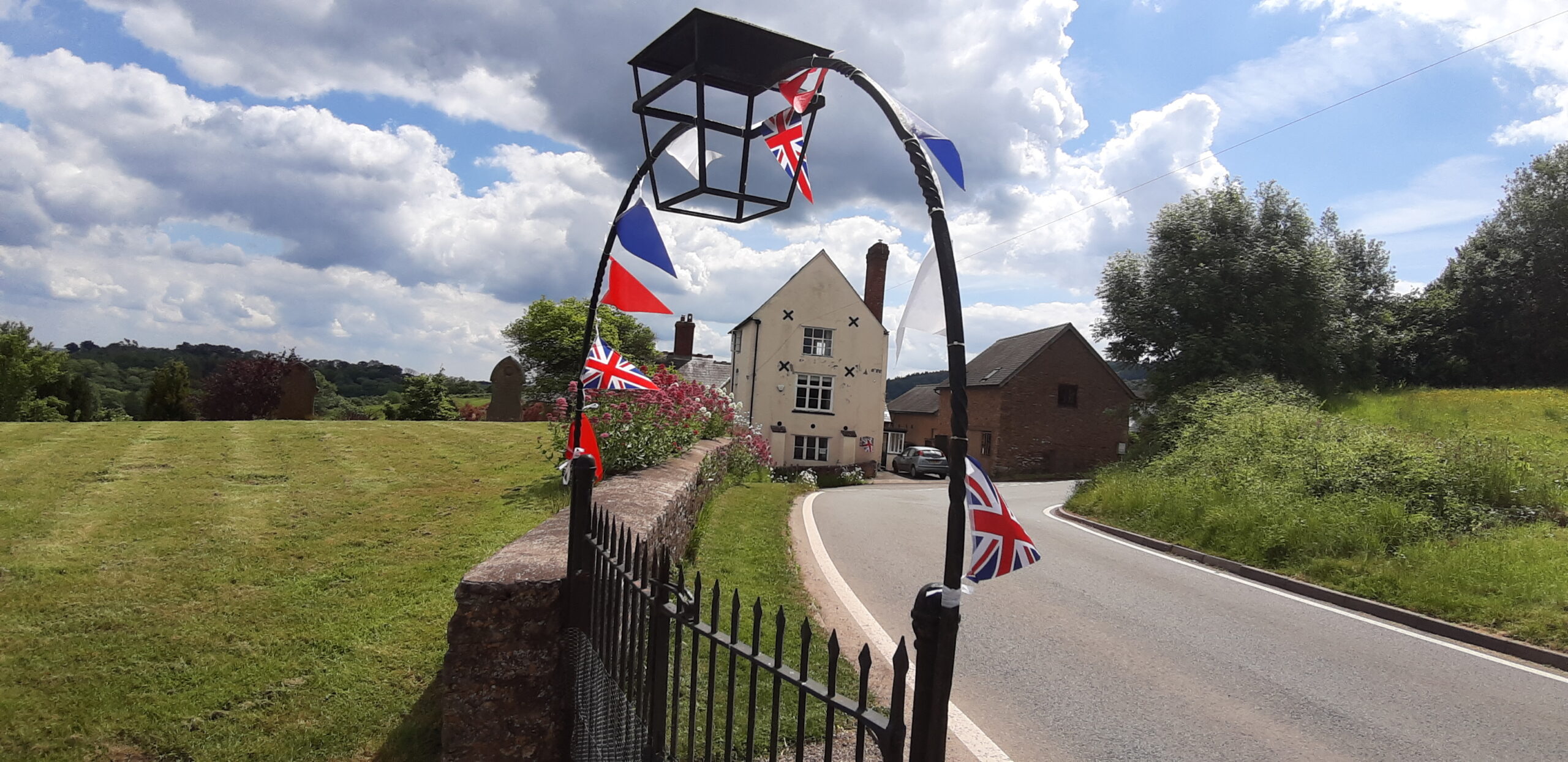
Here is the text of the talk that Anthony Adolph of Callow Farmhouse gave at Callow as part of the Queen’s Platinum Jubilee History Walk on Saturday 4 June 2022. (it was given in St Mary’s church, because of the rain, but it was written to be given in the churchyard, from which most of the places being described can be seen).
A Brief History of Callow
Callow’s story is one of a hill, a wood, and a road. The hill, The Callow, was formed over millions of years during the Ice Age, that ended 11,500 years ago. Then, a great forest clothed this land, that was later called the Haywood, and much later still our ancestors later began clearing it to farm the land. From here we can see Dinedor and Aconbury, both Iron Age hill forts that would then have been clearings in the Haywood, and perhaps this hill was cleared too, as a satellite farm of great Aconbury. It’s said that, when the Romans came, the Roman general Ostorius Scapula took over Dinedor as his base in the war with the British chieftain, Caratacus, whose own base was at British Camp in the Malvern Hills, over there.
Before the new route of the A49 was cut over there, this lane was part of the old road coming up from Monmouth and crossing the Wye at Hereford. It may well have been a trackway in the age of the hill forts, and some say this then became a Roman road. There is even a theory that it was an extension of Watling Street, running up into the Midlands and then sweeping down through London into Kent. If so, this lane is essentially the same road as Canterbury High Street. That is just a theory I have heard, but it’s certainly true that this little lane was once an important thoroughfare, and has always been very important to our village’s history.
After the Romans, this area, bordered the Monnow to the south-west, and by the Wye to the north and south-east, was called Ergyng, and, later, Archenfield. It then merged with its larger, south-western neighbour, Gwent. King Arthwys of Gwent is thought by some to have been the King Arthur, and certainly this area has many Arthurian connections. The now lost tump down the way there at Wormelow was said to have been the burial mound of his nephew Amr, for example, and Arthur is said to have been crowned by St Dubricius, the grandson of a King of Ergyng, born over at Madley, who had a monastic school down there at Hentland.
There’s a wonderful story in the Book of Llandaff about King Arthwys granting land to the Bishop of Llandaff, in memory of St Dubricius, and carrying the Gospels on his back as he processed around the boundaries of the lands he was granting. Those places included somewhere called Llan Mihagel Cilluch, where Llan Mihagel is Welsh for St Michael. Some scholars think this was Michaelchurch and nearby Gillow, five miles south of here. But other scholars think that Llan Mihagel Cilluch was our own Callow, with the church here dedicated in those days to Llan Mihagel – the Welsh for St Michael – not St Mary. If so then, on this Jubilee morning, we can all enjoy imagining, King Arthur himself coming up this very lane, carrying the Gospels on his back.
After Arthur, the land north of the Wye fell to the Mercians, and eventually they penetrated down into Archenfield too. By the 700s, King Offa of Mercia – he who built the famous dyke on the other side of the Wye – is said to have regarded the Haywood here as his personal hunting ground.
In 1066, the Normans invaded and this became the border country between Norman England and the Welsh, hence all the castles around here. The Norman kings kept the Haywood as a royal hunting forest. Anyone else hunting in the forest would be punished by death, but our predecessors living here were allowed to gather firewood and turf in the Haywood, ‘by hook or by crook’, in other words, not using implements with a cutting edge.
The late John Champion’s papers show that the eastern edge of the Medieval Haywood ran pretty much along the route of the old road from Hereford, up to the churchyard here and then on to Dewsall. This suggests that the farming settlement of Callow could only have existed outside the Haywood, so, on that side of the lane.
Callow Farmhouse there is 16th and 17th century, but recently the listed building chap came and had a good nose about, and found a section of Medieval wattle and daub in that wall, but which faced towards what is now our house. That suggests that what is now our front garden was once a Medieval building. It’s possible that it was a farm house in Medieval times, perhaps the only one at all on the Callow.
Medieval Callow with its farm there belonged to the Knights Hospitaller. They were an order of knights founded to care for sick pilgrims visiting the Holy Land, but they were granted a lot of land all over Europe. They had property in Hereford, and their base was up at Dinmore. In the 1300s, they acquired the lands of the disbanded Knights Templar too, including Garway, so Callow was part of a network of Hospitaller properties stretching right across this area.
In the 1500s, the Tudor period, a lot here changed in Callow. The Haywood stopped being a royal hunting forest and started being felled and cultivated, until only a few tiny sections were left – and more farms appeared.
The Hospitallers in England were abolished, too, and their land here in Callow was granted to the Pearles of Dewsall. Then, Callow was owned by the same families and organisations who owned Dewsall: the Powells of Pengethley, the Brydges Dukes of Chandos, Guy’s Hospital in the 1700s until the mid 20th century, and then in quick succession Sir Charles Clore, The Prudential Insurance Company, and now the Duchy of Cornwall, the estate of His Royal Highness the Prince of Wales, whose mother’s Platinum Jubilee we are celebrating this weekend.
So what is around us now? The church that we see now is Victorian, but there was an older building here, and the font inside dates back to the 1200s at least, and this may well have been a religious site right back in Arthur’s time, or maybe even longer before. It has been decommissioned as a church and is now owned and maintained with loving care by Jan and Bern Nash of Church Cottage, all for the benefit of us all – and I think they deserve a round of big applause for it….
Over there’s the parish hall, that used to be the village school, built by Guy’s Hospital for the children of its tenants in 1873. Jan has just very kindly leant me the minute book of the school’s committee, who usually met there in Callow Farm. The committee’s first recorded action, in 1878, was to apply for a bylaw to force all children living within a mile and half of Callow to attend the school. With the rise in mechanisation of farm work, the parish’s population declined and in 1953, after strong protests from the committee being ignored, the school closed. The last teacher, Mrs Lloyd, carried on living in the school house, and her son John Lloyd continues there to this day. The school was bought by three local farmers and donated to the parish, to be used as a village hall. It’s been run superbly by a committee who now include some of our older residents, and they are looking for some younger blood to take over. So if any of you have a little time to spare to keep the hall going as the only public meeting space in the whole parish, please let us know.
In most Herefordshire villages, you will find, the church, the manorial court, and of course the pub. Jan and Bern’s house there is now called Church Cottage, but it was called Callow Court, and was probably built after the 1500s, when that part of the Haywood was cleared for farming. Its old name suggests that it was where the local manorial court was held. In about the 1790s, Knockerill Farm was built down the hill, and it became workers’ cottages, until Jan and Bern restored it as Church Cottage and created the beautiful gardens that we all enjoy seeing as we go past now.
And, finally, there was the pub, which is now our house. It probably started, as I said, as a Medieval farm, but remember that this lane was the old road between Hereford and the south. It’s a steep climb up the Callow, so travelers reaching the top would stop for a drink, and so the farm also doubled as an inn. The garden and part of the sheep field here were covered with orchards, to make cider to sell to the thirsty travelers. It was called the Callow Inn, but also sometimes the Duke of Chandos’s Head and the Guy’s Head, reflecting who owned the estate at the time. The first landlord here who we can identify was called William Pyefinch, in the mid 1700s. After Pyefinch him came the Beavans, who also tenanted Callow Court Farm, and then Laytons, and the Dimerys in the 19th century, who are commemorated in that stained glass window, there.

Callow and the Callow inn have had a checkered history. During the inn’s darker days, a local gang used to befriend overnight visitors and murder them, carefully packing up all their belongings to make it look as if they’d left of their own accord, and then taking the bodies over the fields to a house where they would be disposed of. That house was later burned down, but it’s supposed to re-appear sometimes, at night – as Herefordshire’s one and only ghost house.
In 1835, the main road was diverted to follow the course of what is now the A49, that avoids this, steepest part of the Callow, and this section of the ancient road became the mere country lane it is now. The house down at the bottom, where the Barretts live now, was built by the Beavans in the late 1700s, and took over the role of refreshing travelers, and was within living memory called The Angel Inn.
Once the road had been diverted, the Callow Inn became just a farm. After the Dimerys came the Prices, the Prossers, the Lilwalls by 1921, who were the first to have a tractor in these parts, and then the Andersons, and this grave here is of County Anderson, who in living memory kept cows here and whose wife rented out rooms.
It had a ghost of its own – a little girl wearing a single blue slipper, who would be see wandering about in the tower, looking for the missing one. In the 1920s, a bedroom wall was taken down and there was the missing slipper: and after that, I’m very relieved to report, the ghost stopped appearing.
And, I’m reliably informed, people have heard the rumble of coach wheels and the jingle of harnesses coming up the Callow at night – or was it the tramp of Ostorius Scapula’s legions, or the sound old King Arthur himself, carrying the Gospels on his back?
To end, look at this tree in the churchyard. It is a Cockspur Thorn. It and its companion, that grows outside the village hall, were given to the village by old Mrs Holt of Farmore, about whose family we’ll hear far more later on the walk. It was planted in 1977, for the Queen’s Silver Jubilee, and see how much it has grown in 45 years, with the same Queen on the throne for the whole of that time.
So, living, dead and ghostly, there you have a small taste of the long and interesting history of Callow.
(© Anthony Adolph 2023)